
5.2How do I start a precise scanning session with my iPhone/iPad?
1. Turn on location
Allow access to your position before starting the scan. GPS aligns the scanned plan with its real location: this is what later fills in the project address and gives access to building data.
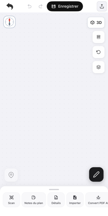
2. Open the scan interface
Select a floor, then tap the Scan button at the bottom of the screen.
3. Follow the scan guide
An interactive guide recalls the conditions for a clean survey: flash below 50 lux, one room at a time, moderate pace, watch out for reflective surfaces.
4. Start capturing
Tap the red button to begin, then move at a moderate pace while aiming at walls and corners. A 3D model builds in real time, showing what is already captured and what still needs covering.
At the end, three options are offered — see what to do once the scan is finished.
Updated on July 24, 2026